The web Browser you are currently using is unsupported, and some features of this site may not work as intended. Please update to a modern browser such as Chrome, Firefox or Edge to experience all features Michigan.gov has to offer.
One out of 100K: EGLE honored with special achievement GIS award
April 13, 2023
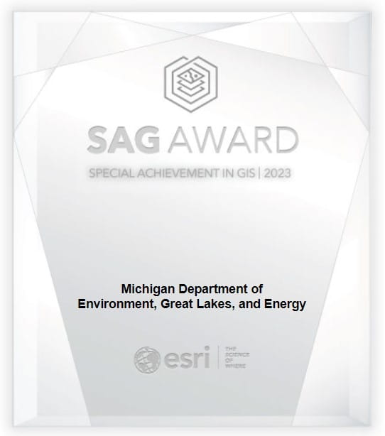
The Michigan Department of Environment, Great Lakes, and Energy (EGLE) recently received Esri’s Special Achievement in GIS Award.

Esri's Special Achievement in GIS Award to EGLE.
Esri is the global market leader in geographic information system (GIS) software, location intelligence, and mapping. “This award is given to user sites around the world to recognize outstanding work with GIS technology,” notes Kate Berg, EGLE’s GIS lead. “According to Esri, our GIS team stood out from more than 100,000 others to be selected for this honor.”
The EGLE GIS team was nominated for the award because of their improvements to the Michigan Green Schools Program. Kate Berg led the launch of a new community engagement website to modernize and streamline the program. These efforts made it easier for local Michigan schools, administrators, and county coordinators to participate in the program and earn certification for their school’s environmental projects.
“I am grateful to be working with and learning from such a great team of GIS professionals at the Department. This includes my manager Kevin McKnight and the 150+ other environmental staff that use GIS in some capacity to protect Michigan's environment and public health. Our success should also absolutely be shared with EGLE’s environmental education coordinator, Eileen Boekestein. Eileen took over leading the Michigan Green Schools program this year and was instrumental to developing the new program website. I am thankful for the opportunity to work with her!”
“I am so proud of the work that Kate and Eileen did to put together this application for the Green Schools Program,” added Kevin McKnight, EGLE’s GIS manager. “This award demonstrates the high-quality work EGLE is doing to improve the quality of life for the people of Michigan.”
To learn more about how EGLE is using GIS technology, check out the What makes EGLE spatial story map and read about EGLE’s 2022 Maps and Data featured content. Visit EGLE’s centralized location for maps and data to see all of EGLE’s public GIS content. You can also subscribe to the EGLE Maps and Data Updates GovDelivery list to get an email straight to your inbox when EGLE publishes new datasets or mapping applications.