The web Browser you are currently using is unsupported, and some features of this site may not work as intended. Please update to a modern browser such as Chrome, Firefox or Edge to experience all features Michigan.gov has to offer.
Researching where water meets land
April 09, 2024
Today’s MI Environment story by Tammy Newcomb of the Michigan Department of Natural Resources, is from the State of the Great Lakes Report.

Among the challenges worsened by climate change is erosion from high water as lake levels fluctuate.
From Detroit to Alpena, Benton Harbor to Petoskey, Sault Ste. Marie to the Keweenaw Peninsula, and beyond, some of the most valuable landscape in Michigan – both biologically and economically – lies within Great Lakes coastal zone regions.
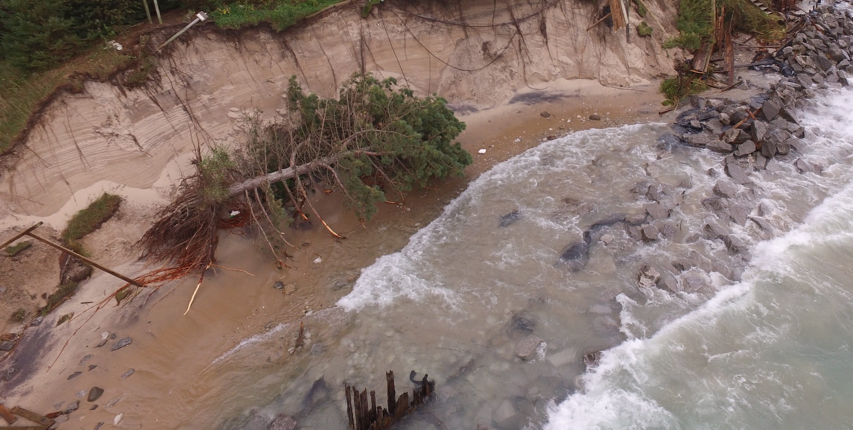
Michigan’s more than 3,000 miles of coastline are subject to environmental changes that come with rapidly changing climate conditions. High and low water levels, wind, ice, and human activity all contribute to the ever-changing character of these coasts. In 2019-20, erosion from record high Great Lakes water levels caused significant property damage. The Michigan Department of Environment, Great Lakes, and Energy (EGLE) responded by temporarily expediting the shoreline protection permit process for homes or structures at risk of damage, approving more than 2,200 permits from October 2019 through September 2020 – three times as many as in the previous year and nearly 10 times as many as in Fiscal Year 2014.
Conditions like these are less predictable due to the effects of climate change on Great Lakes precipitation and temperatures. To address changes and sustainably invest in and steward these vital coastal areas, Michigan and the seven other states bordering the Great Lakes signed an agreement on Sept. 21, 2022, with the U.S. Army Corps of Engineers (Army Corps) for a Great Lakes Coastal Resiliency Study.
Using advanced climate and hydrodynamic models, the study will examine a range of future conditions that could affect coastal resilience. Stressors to be evaluated include changing precipitation patterns, lake level fluctuations, changing temperatures, and wind and wave action.
The project will specifically consider impacts to communities, infrastructure, and habitat. The model will be used to create a risk-informed decision framework that communities, businesses, and landowners can use to identify and prioritize coastal investments and develop projects that protect fish and wildlife habitat, such as coastal marshes or other nearshore features.
Michigan’s departments of Natural Resources; Environment, Great Lakes, and Energy; and Transportation look forward to working together with the Army Corps and stakeholders to identify vulnerabilities in the state’s coastal infrastructure – such as roads, bridges, marinas, and fish and wildlife habitat – to begin developing strategies for investment.
Understanding these vulnerabilities will provide better information to local communities, ensure Michigan’s harbors continue to serve the public despite changing conditions, inform proactive measures to protect fish and wildlife, and secure transportation networks that support day-to-day travel and local economies.
All eight Great Lakes states are contributing proportionally to the nonfederal cost share to implement this planning project. Michigan has committed a little more than $500,000 toward a nonfederal sponsorship and will work on the project to meet this commitment. The overall cost of the approximately five-year project is more than $18.4 million. The public and coastal communities will be invited to participate in public meetings to provide insights into concerns for vulnerabilities along the coasts and contribute to local knowledge and understanding as the project moves forward.
Senior Executive Assistant Director Tammy Newcomb provides leadership on Great Lakes issues for the DNR and is an adjunct associate professor in Michigan State University’s Department of Fisheries and Wildlife. She says the shorelines of the Great Lakes are where she finds wonder and awe, as well as a deep connection between the past and the future.