The web Browser you are currently using is unsupported, and some features of this site may not work as intended. Please update to a modern browser such as Chrome, Firefox or Edge to experience all features Michigan.gov has to offer.
EGLE staffer honored with ‘best storytelling’ award by professional development organization for story map
July 18, 2023
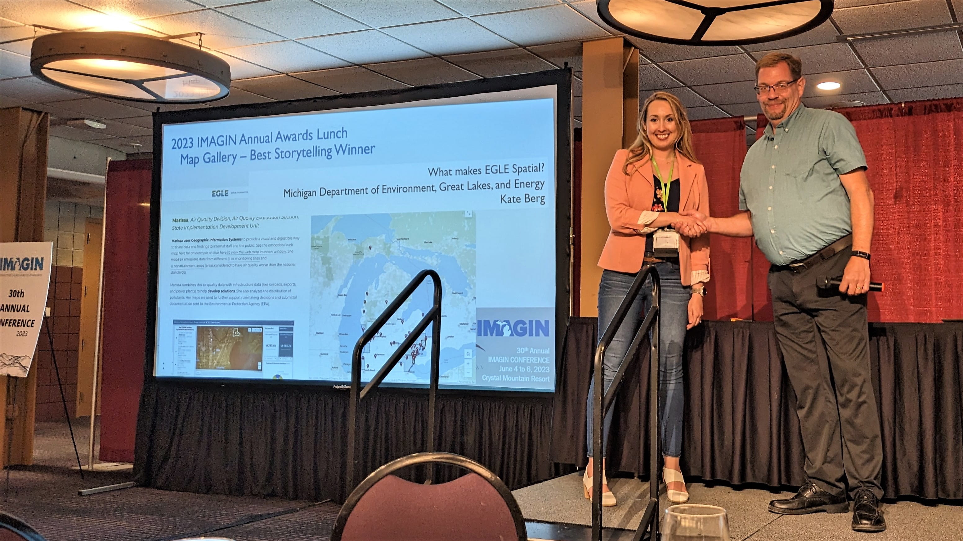
Kate Berg, Geographic Information Systems (GIS) lead at the Michigan Department of Environment, Great Lakes, and Energy (EGLE), was honored recently by IMAGIN with the “best storytelling” award for a story map that highlights how EGLE strives to innovate the ways GIS is used, including how EGLE staffers collect and share data and how the department tells its story.

Kate Berg accepts the Best Storytelling Award for a story map at the IMAGIN conference.
At the professional development organization’s recent conference, Berg received the award for the What Makes EGLE Spatial story map that debuted in 2021 as part of GIS Day.
“EGLE uses geospatial technology for a wide variety of programs, and I really wanted to find a cool way to highlight some of these neat projects. From air quality to water resources, this story map features how 14 different EGLE professionals are using GIS to accomplish their diverse environmental work and I am happy I was able to share their interesting stories!”
IMAGIN is a non-profit organization founded in 1993 to establish a statewide forum to advance the use of geographic information systems and spatially referenced information.
Geographic Information Systems (GIS) is a way to map, analyze, and collect data that has a spatial component (like an address or coordinates). If you're interested in learning even more about how EGLE is using GIS, please visit the Maps and Data Portal. This portal serves as a centralized location for all of EGLE's public maps and open data. You can also subscribe to the Maps and Data Updates GovDelivery email list to be notified when EGLE publishes new GIS content.