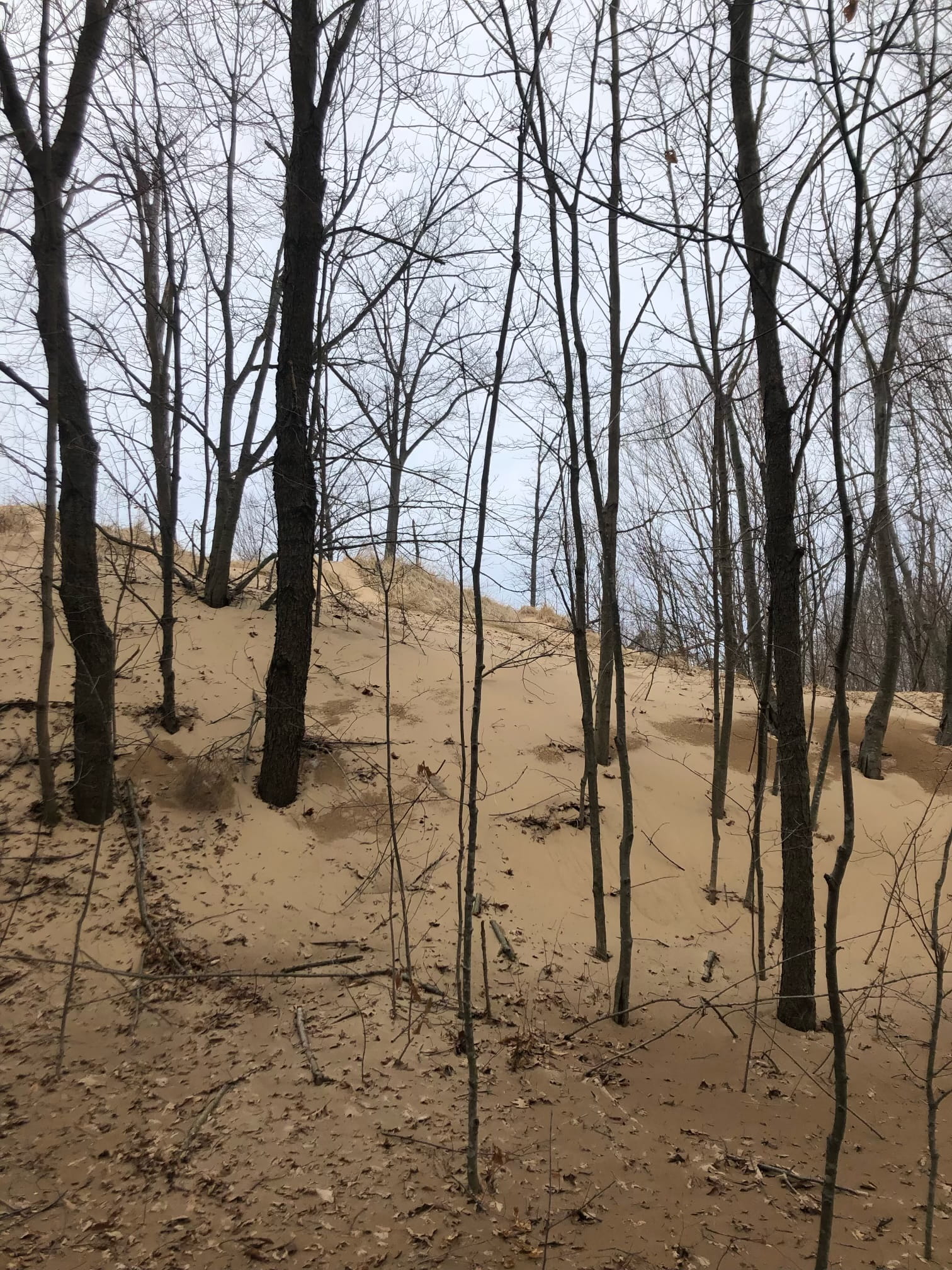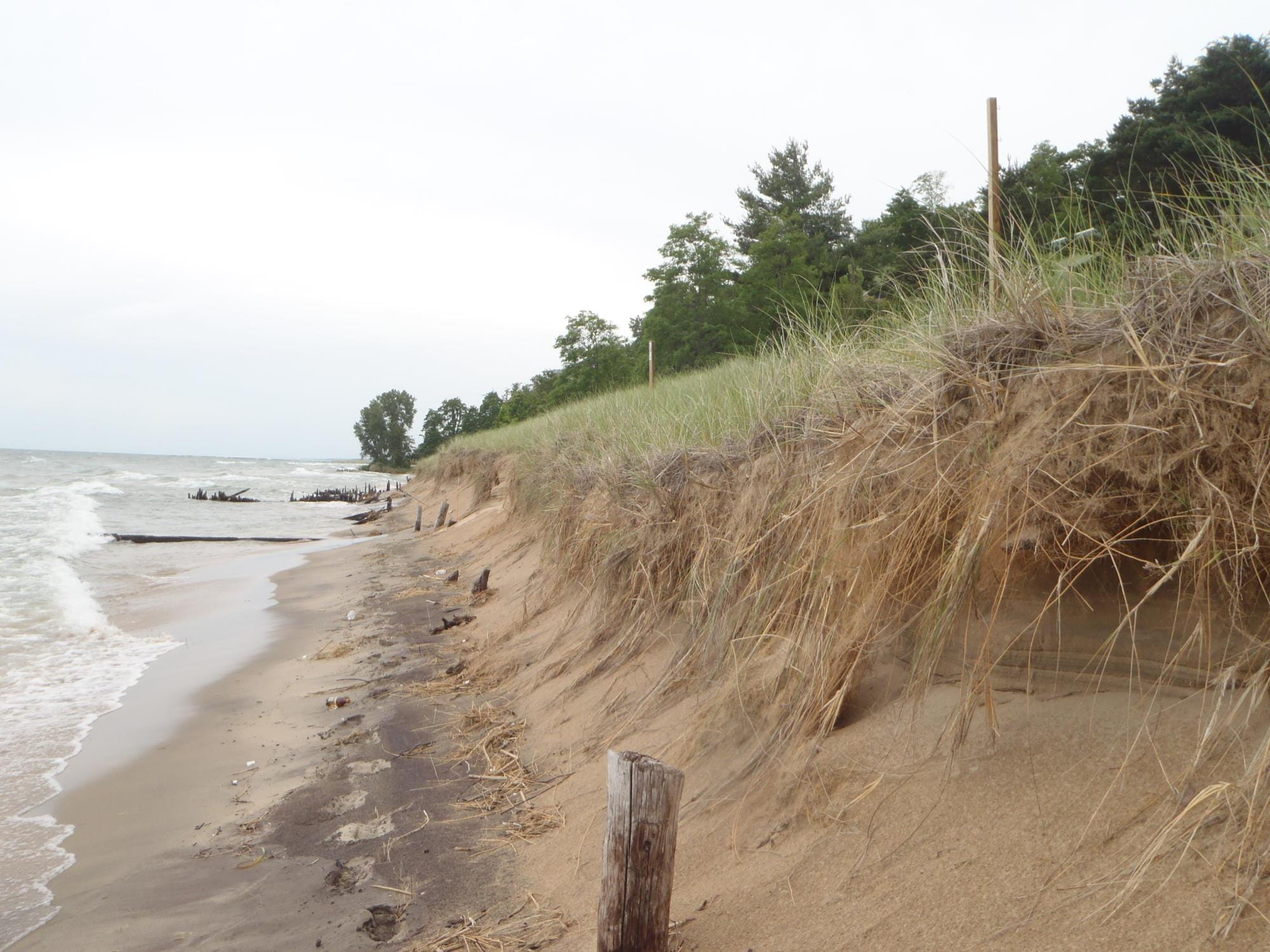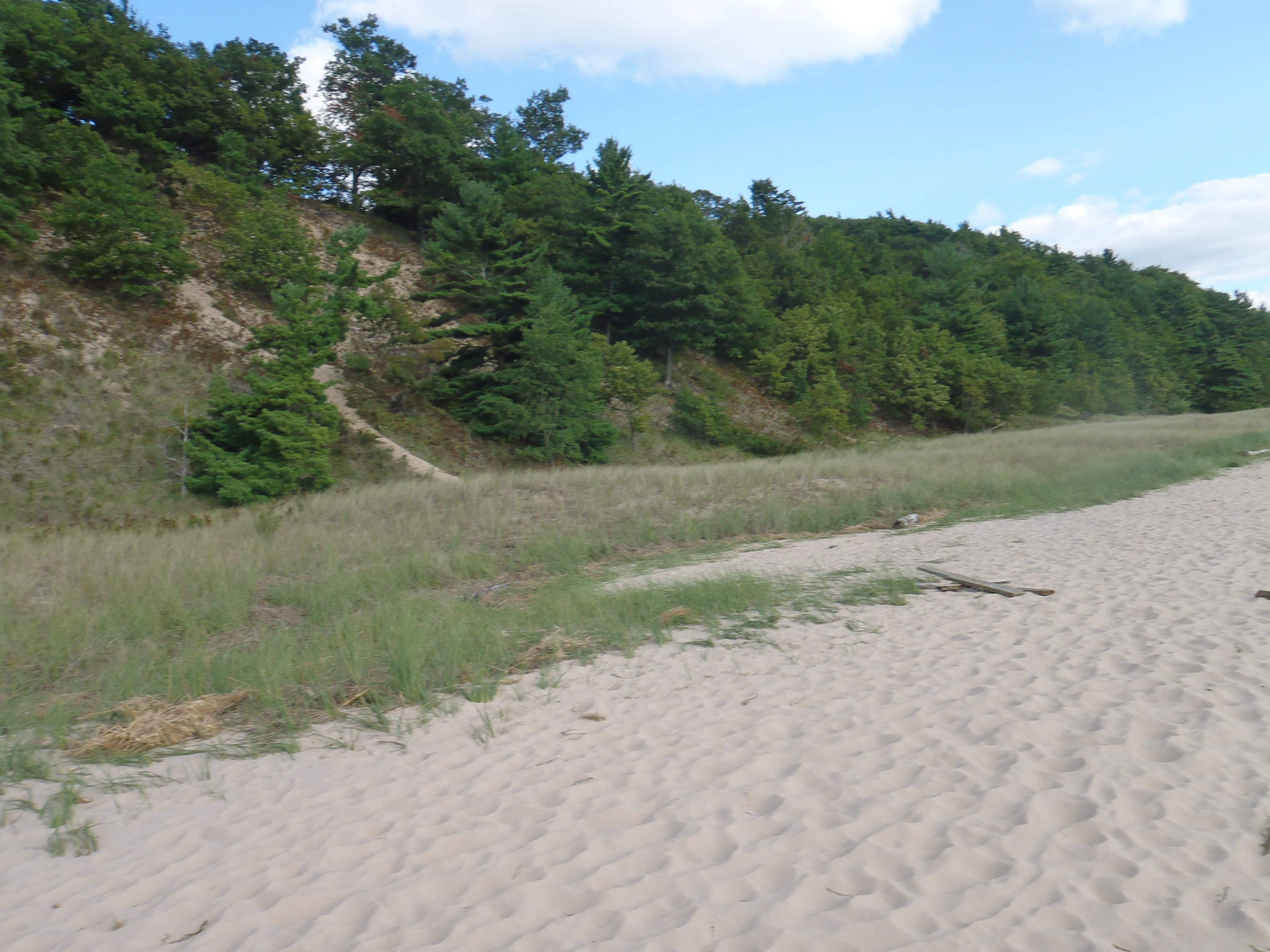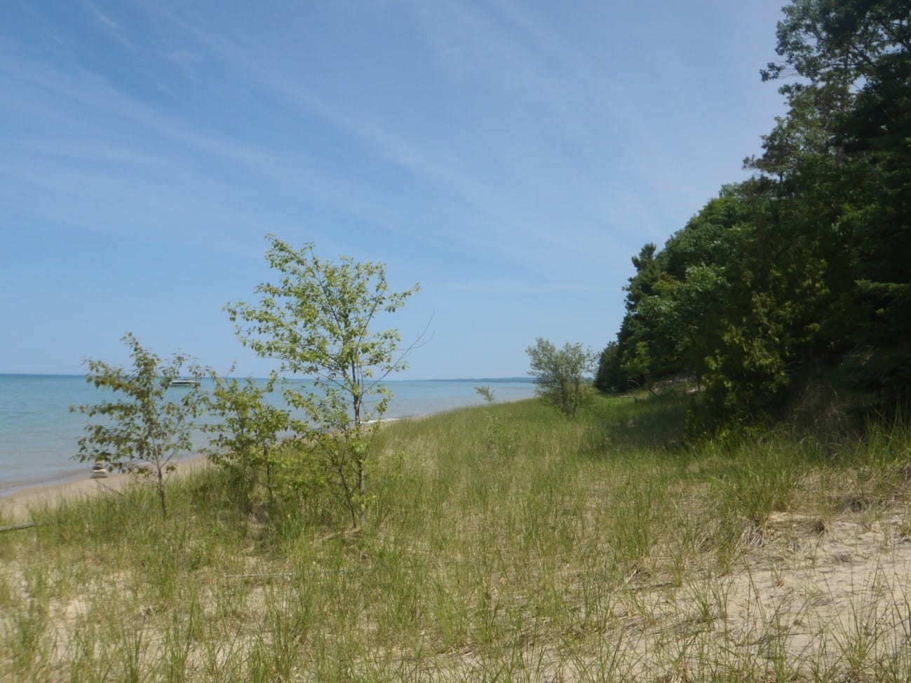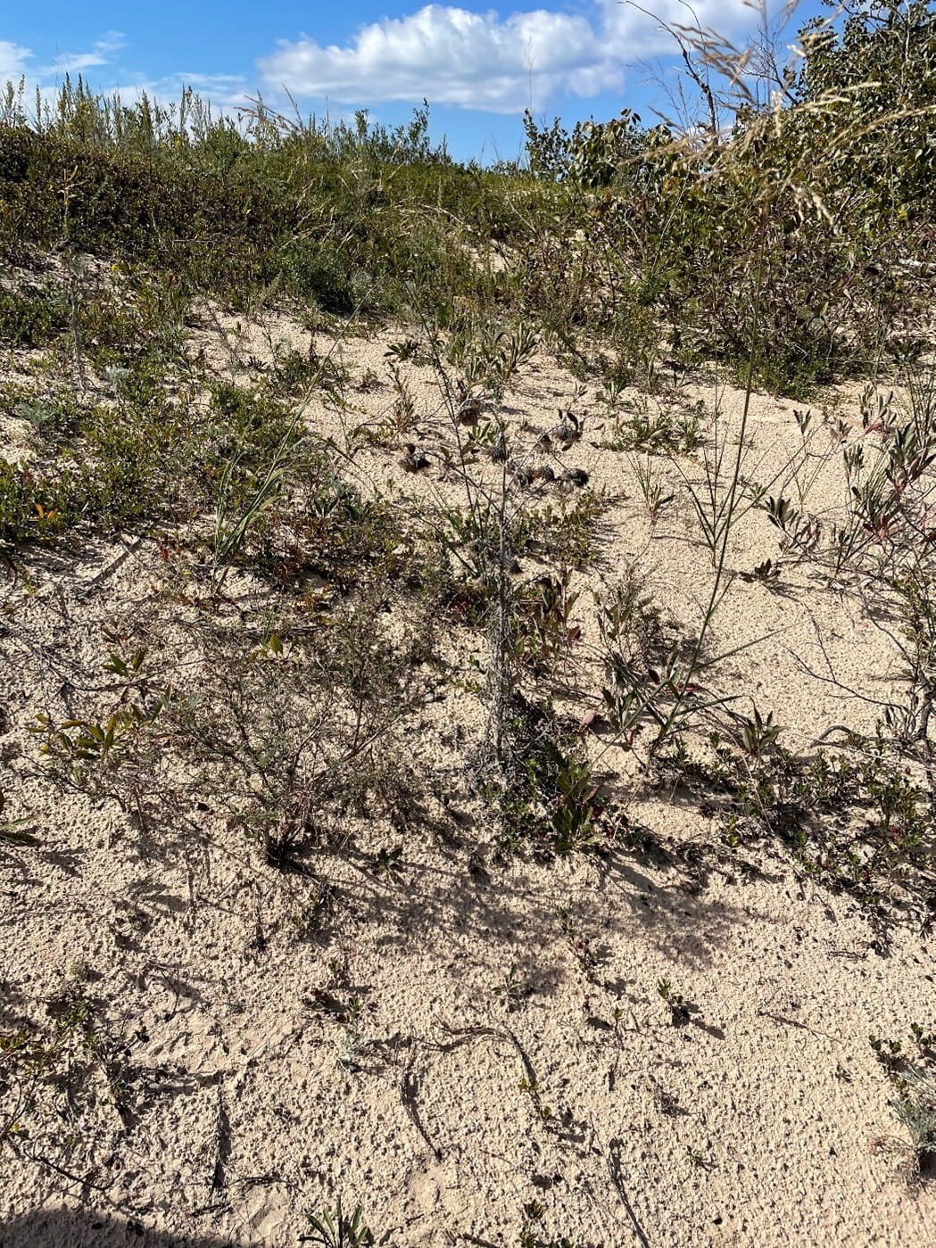


The maps of critical dune areas were approved by the Michigan legislature in 1989. A total of 265 miles of shoreline and about 74,000 acres of public and private lands are regulated on the shores of Lake Michigan and Lake Superior.
The legislature found these dunes and adjacent lands are a unique, irreplaceable, and fragile resource that provides significant recreational, economic, scientific, geological, scenic, botanical, educational, agricultural, and ecological benefits to the people of Michigan.
If, after using one of the sites to determine if your property is in a critical dune area, there are questions about whether the property is in a critical dune area please contact local EGLE staff. For questions about permitting visit Michigan.gov/CriticalDunes.